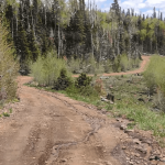
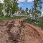
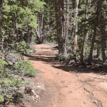
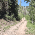
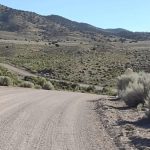
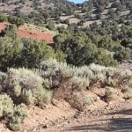
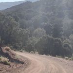
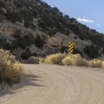
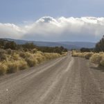
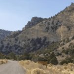
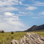
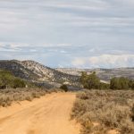
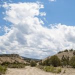
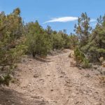
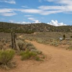
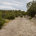
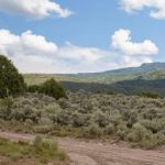
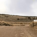
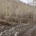
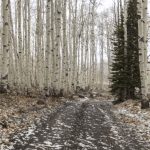
Discover the Paiute Trails with Utah UTV Rentals
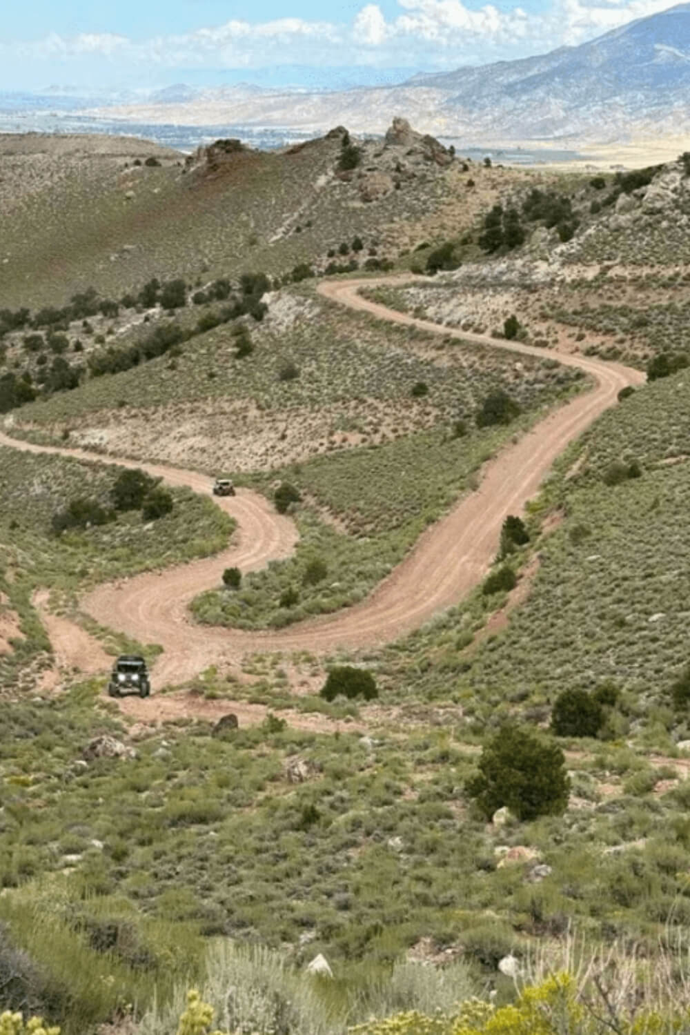
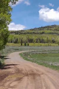
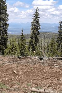
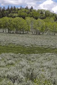
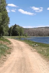
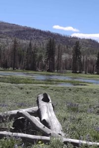
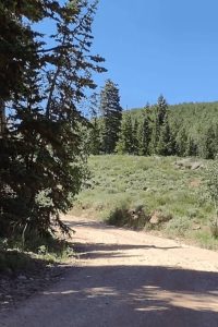
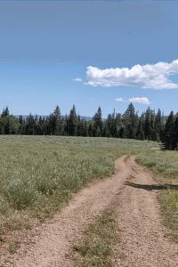
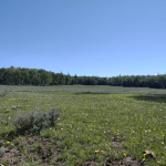
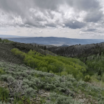
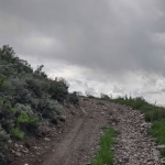
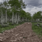
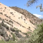
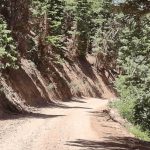
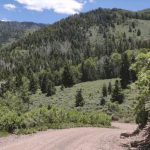
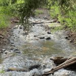
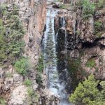
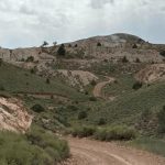
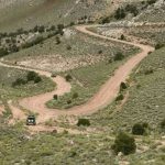
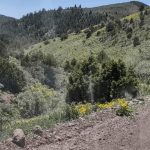
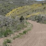
Located in the south-Central Part of Utah this area is the popular one in UTV World. Many riders will recommend driving there because of the beautiful nature and diverse range of trails you could find there. In this area, you can find, lakes, camping spots, rivers and the most beautiful Nature.
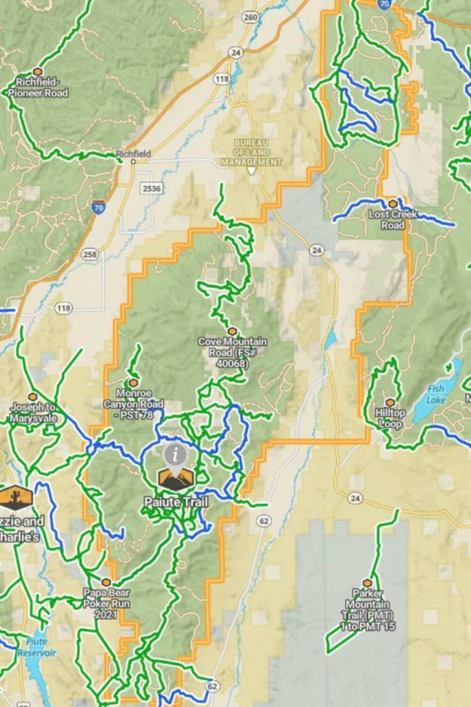
Riders can access the Paiute ATV Trail from various small towns throughout central Utah, including Marysvale, Richfield, Beaver, Fillmore, and Salina. This expansive trail system covers four counties filled with adventure and winds through the picturesque Fishlake National Forest. As you traverse from one county to another, you may not notice the boundaries, but you’ll certainly appreciate how welcoming these areas are to OHV enthusiasts as you seamlessly transition from trail to town.
What should we expect on Paiute ATV Trails?
The Paiute ATV Trail System in central Utah offers over 900 miles of trails for UTV enthusiasts, spanning the scenic Fishlake National Forest, just north of Manti-La Sal National Forest. Based in Manti, Utah, at the Temple Hill Resort near a historic LDS temple, we are perfectly situated to explore these trails, including the famous Arapeen Trail. Over the next three days, we will document our journey through 381 diverse trails featuring pavement, dirt, mud, and sand. Our first day included a straightforward loop westward, navigating new paths and enjoying the varied landscapes. The Paiute ATV Trail System offers something for every UTV driver, from challenging routes to leisurely rides.
The Best Time to Visit
These trails are accessible year-round, with the prime season running from May to October. In early spring, you may encounter snow and icy conditions, making the trails hazardous for UTV riding. Late summer months can bring rapid weather changes, including thunderstorms and heavy rain.
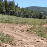
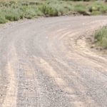
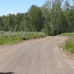
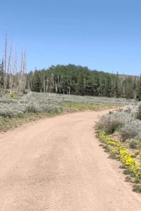
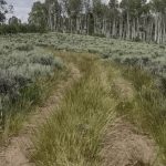
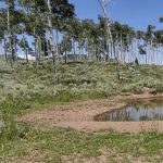
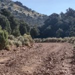
Full Width Road
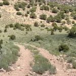
Easy Trails
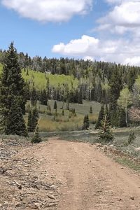
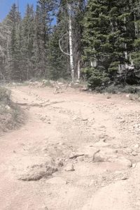
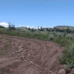
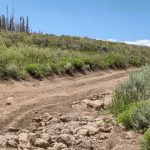
High Clearence 4x4 Trails
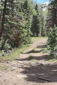
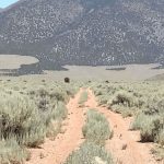
60” Trails
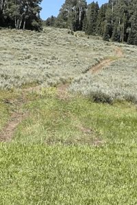
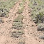
50" Trail
Paiute ATV Trails
The Paiute ATV Trail System, one of Utah’s most popular ATV destinations, offers a wide array of trails that attract riders from across the country. A significant addition to this system is the new trail network on Parker Mountain, spearheaded by local residents. Over seven and a half years, they have successfully added 200 miles of trails, connecting the Paiute Trail to areas like Marysvale, Circleville, and the Dutton. This new extension integrates seamlessly with the existing system, expanding the total network to an impressive 1,679 miles of OHV trails across Utah.
Glenwood Access to Fishlake Natl Forest, Annabella Reservoir/Deep Lake and Cove Mountain Road
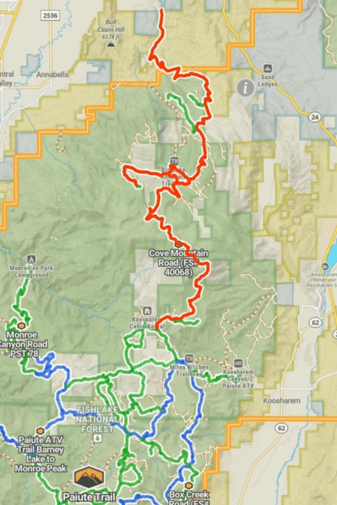
Accessing Fishlake National Forest from Glenwood, Utah, is easy in summer via a 14-mile trail that takes about 45 minutes. The road is dusty and has some traffic but is easy to navigate and used as a snowmobile trail in winter.
From Glenwood, head south on Sauls Meadow Road, left on Monroe Mountain Road, pass Squeedunk Canyon, around Bell Rock Ridge, and right on Cove Mountain Road. This 14-mile route gains nearly 4,000 feet in elevation. Cove Mountain Road is a 12-mile easy trail, taking about 1 hour and 30 minutes. Key sites along the way include Big Lake, Annabella Reservoir, Koosharem Ranger Station, Monroe Peak, Manning Reservoir, and many Paiute Trail System trails. Watch for road graders.
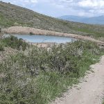
Annabella Reservoir and Deep Lake are three miles west of Big Lake. The 3-mile trail to Annabella Reservoir is easy and accessible for all off-road vehicles. Stay on the trail as it crosses private land. The road offers beautiful scenery and great Rainbow Trout fishing at Annabella Reservoir. Deep Lake has various fish species. This trail is a dead-end; return the way you came.
Lower Rock Canyon Overlook trail runs north across Lone Pine Ridge to a canyon overlook, offering stunning views of Glenwood, Richfield, and the surrounding mountains. A dirt bike or quad trail runs through the canyon bottom and can also be hiked or explored on horseback. The trail is rocky but not difficult. In summer, you may encounter cattle.
How to get there:
From Grenwood city drive on E 400 S Street at this point 38.752737, -111.975275 turn right and you will continue on Glenwood Access to Fishlake Natl Forest Trail. You need to continue driving only south and at this point 38.649128, -111.949480 you should turn right to continue drive on the Annabella Reservoir/Deep Lake trail. And if you continue to drive on Glenwood trail on this point 38.649063, -111.949528 it connects with Cove Mountain Trail.
Cove Mountain Road, Cove Mountain Road South, and Water, Water Everywhere
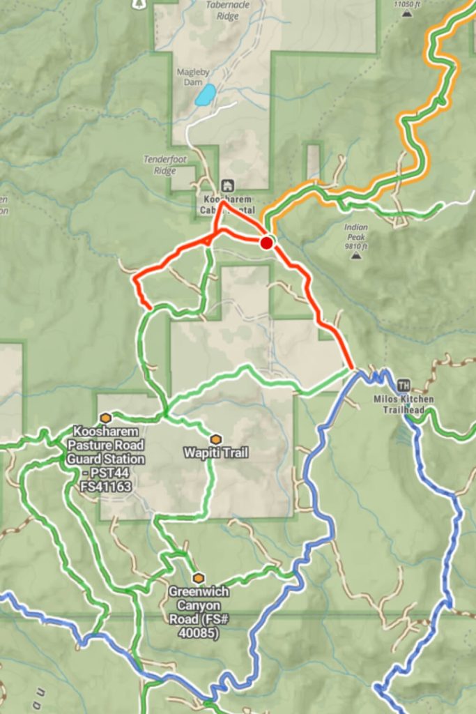
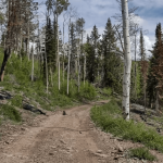
A small section of this trail crosses private property but remains accessible, marked by a cattle guard. By mid-June, some residual snow may be seen along the roadside, though the trail is navigable. This trail combines multiple Forest Service paths, leading deep into the forest with abundant water, tall green grass, and thriving wildlife and cattle. As of late July 2023, water crossings were manageable, with only one having a soft base. The trail features some rocks and signs of erosion but remains easy with beautiful scenery. It may be impassable early in the spring. The trail is full-width, accommodating a 72-inch side-by-side (SXS).
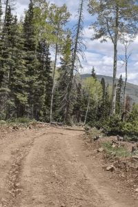
This extension completes Forest Service Trail 40068, stretching from south of the Koosharem Cabin Rental to the Paiute ATV Trail Dry Creek Monroe Mountains Loop. While parts of the loop are for 50-inch vehicles, the connection is full-width, allowing access to FS 40076, which descends through Koosharem Canyon or connects to the Wapiti Trail. The road is well-maintained and regularly graded in summer, making it smooth but dusty. After rain, it can be muddy. The foliage includes pine trees, aspens, flowering bushes, plants, and some cacti. As you descend, the trees open up to stunning views of the surrounding area.
How to get there:
At this point 38.556471, -111.978251 Cove Mountain Trail ends and if you turn right you will find Water, Water Everywhere Trail. On the left side is the Cove Mountain Road South trail.
Koosharem Pasture Road Guard Station and Wapiti Trail

Koosharem Pasture Road is a 9-mile easy trail suitable for beginners. It connects to Koosharem Guard Station Road, forming Paiute Side Trail 44, which runs across the Sevier Plateau and reaches over 9,800 feet. The north end ends at the Forest Service Guard Station near the rentable Koosharem Cabin. The trail crosses private property marked by cattle guards.
On the west end, Wapiti Trail links to the Paiute ATV Trail from Barney Lake to Monroe Peak. Although marked as a 50-inch trail, it is wide enough for larger vehicles, including pickups and campers, used by Forest Service personnel and private property owners.
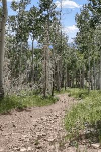
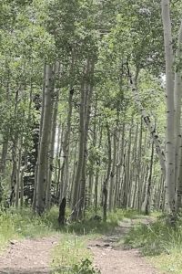
The trail passes through aspen and pine groves, open meadows, and sagebrush patches. It remains mostly dry in summer, though some snow can persist in June. The trail features small rocks and signs of past forest fires with new growth visible. The Forest Service manages the area by gathering and burning downed timber.
Tall orange markers indicate winter snowmobiling use. The trail runs through the Paiute ATV Trail Area, managed by the BLM and USFS, and includes a few easy water crossings for summer cattle grazing. The scenery is stunning, with elk herds often seen in summer.
How to get there:
The starting point of Koosharem Pasture Road is 38.562342, -111.986692 this trail is 6 miles long. But if you want to drive on Wapiti Trail you need to turn left on this spot 38.546376, -111.991216 and you continue to drive on Wapiti Trail which is 5 miles and connects with Cove Mountains Road South and Greenwich Canyon Road.
Brindley Dairy, South Fork Greenwich Creek, and Greenwich Canyon Road
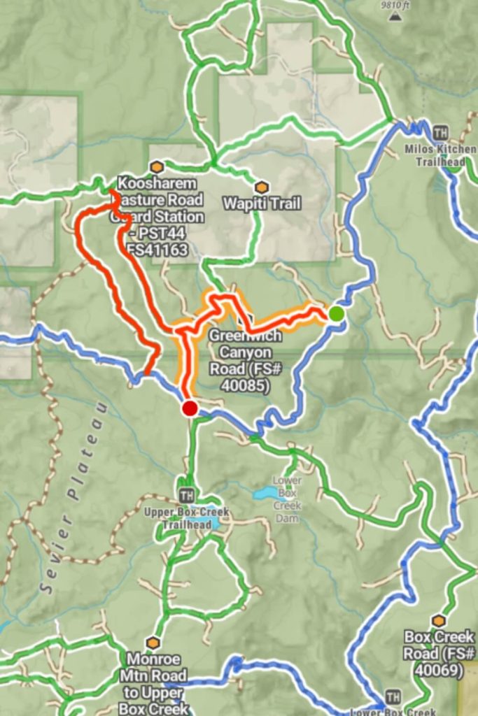
In an area with mostly 50-inch wide trails, we highlight full-width trails. The Brindley Dairy Trail connects the Paiute ATV Trail Dry Creek Monroe Mountains Loop with Koosharem Pasture Road/Guard Station, reaching 9,955 feet and offering stunning views. The area shows signs of past fires with downed timber and new growth managed by the Forest Service.
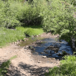
South Fork Greenwich Creek is an easy dirt trail between Greenwich Canyon Road and Koosharem Pasture Road/Guard Station. It starts at 8,791 feet and climbs to 9,330 feet. The trail features minor mud, a simple creek crossing, and passes through pine groves, sagebrush, and aspen trees, with abundant wildlife near the creek.
Greenwich Canyon Road follows and crosses the South Fork of Greenwich Creek, passing through aspen groves and pine trees. The creek crossing in June is easy, and the loose rock hill is navigable. The trail offers spectacular views, especially in the fall.
How to get there:
The Brindley Dairy Trail is connected with Koosharem Pasture Road in this point 38.553237, -111.998065 you need to turn right and then you will be on Brindley Dairy Trail. But if you want to continue from Koosharem Pasture Road to South Fork Greenwich Creek you need to turn left at the same point. Greenwich Canyon Road is connected with South Fork Greenwich Creek at this point 38.544393, -111.987323 you will continue to drive on Greenwich Canyon Road.
Monroe Canyon Road and Hunts Lakes Loop
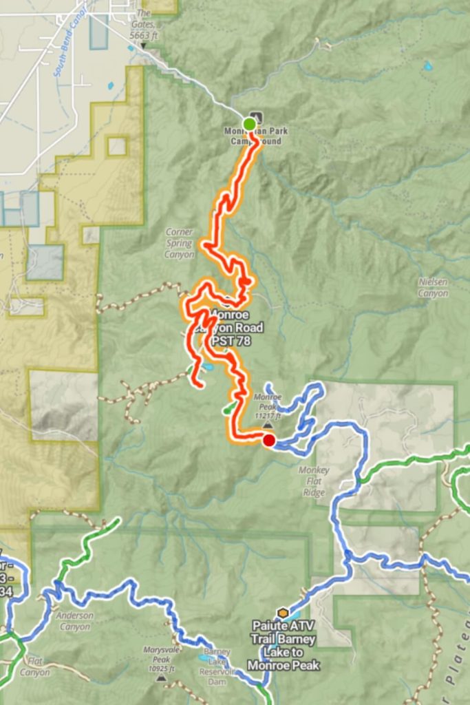
The trail, historically known as Sawmill Road, descends from 10,334 feet at the south end to 6,365 feet at the north end. It’s a good road but narrow in spots with steep drop-offs and tight corners. While mostly wide enough for two vehicles, some areas make passing difficult. The trail has several spur and side trails, about half limited to 50-inch vehicles. The main hazard is other traffic, including SXSs, quads, and passenger vehicles.
Hunts Lakes Loop, or Hunts Lake, is a short side trip off Monroe Canyon Road, just over a mile long, ending at FS# 40075, with spurs to each lake. You might encounter a sheepherder and sheep in this scenic area, so take your time and steer clear. In July, the trail is easy, winding through aspen and pine groves with large rocks requiring good ground clearance. The views are spectacular. The southern entrance is steep and rocky, while the northern entrance is easier. There isn’t room to pass another car, but there are pull-over spots along the trail.
How to get there:
Starting this trail from Monroe and from S Main Street you need to turn left and continue to drive on Montree Canyon Road. The trail begins at 38.595728, -112.078197. The trail is 10 miles long. Hunts Lakes Loops is connected with Montree Canyon trail, you need to turn right on this point 38.556432, -112.091783 and you will continue to drive one Hunts Lakes Loop.
Monroe Mtn Road to Upper Box Creek Reservoir, Box Creek Spur, and Paiute Side Trail
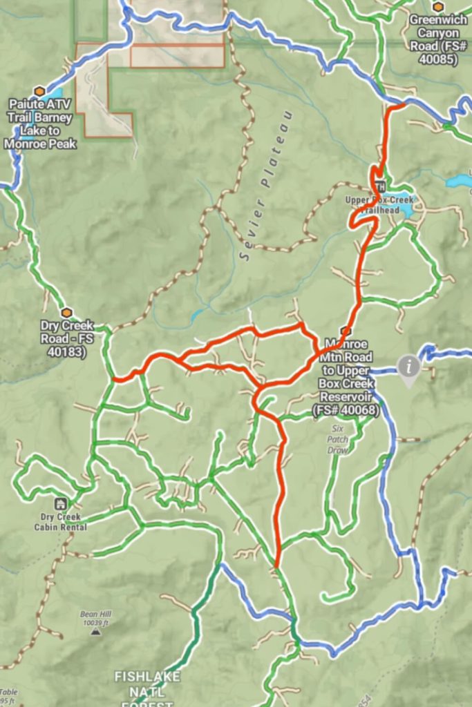
These three interconnected trails in Fishlake National Forest form a 10-mile easy route suitable for all skill levels.
The 6-mile trail links the Papa Bear Poker Run 2021 Trail with the Paiute ATV Trail Dry Creek Monroe Mountains Loop. It traverses Box Creek, and passes by Upper Box Creek Trailhead and Upper Box Creek Reservoir—known for fishing. Typically snow-free by early June, the trail occasionally has muddy patches but offers excellent views of the mountains. This full-width trail also provides access to the northern Sevier Plateau, accommodating vehicles up to 50 inches wide.
The 2-mile track stretches east to west across the Sevier Plateau, connecting various Forest Service Trails. It extends from Monroe Mountain Road to Upper Box Creek Reservoir Trail and runs alongside Box Creek. It’s less traveled, offering solitude, wildlife sightings, and seasonal views of wildflowers and aspen foliage. Despite some erosion and rocks, the trail remains easy to navigate.
Paiute Side Trail 53 spans from Dry Creek Road to Monroe Mountain Road near Upper Box Creek Reservoir. This full-width shortcut connects Manning Meadows Reservoir with Upper Box Creek. The trail, featuring mild erosion and rocks, is generally easy and increases the likelihood of wildlife encounters near its spring-fed pond.
How to get there:
Monroe Mtn Road to Upper Box Creek Reservoir is connected with Greenwich Canyon Road, at this point 38.493758, -112.002167 you need to continue straight and you will drive on Monroe Mtn Road to Upper Box Creek Reservoir. After a few miles on this point, 38.454424, -112.014892 on the right side is the Box Creek Spur Trail. And less than a mile on this point 38.449315, -112.025785 you need to turn right if you want to drive on Paiute Side Trail 53.
Papa Bear Poker
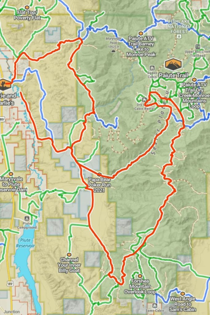
The Papa Bear Poker Run is the longest trail on the Paiute ATV Trails, suitable for all off-road vehicles. This straightforward route can be navigated in AWD and features gentle hills and small rocks. It’s used for an annual charity event starting from Marysdale, Utah, with the route changing each year. The trail consists mainly of dirt and gravel, with no water crossings and offers stunning scenery.
For a quieter alternative away from the busier trails on the Sevier Plateau, this spur trail is ideal. It’s an easy path winding through trees and sagebrush, where you might see deer and elk. The trail has minimal erosion and is easy to navigate, connecting at both ends to the main Papa Bear Poker Run trail. Surrounding this are several smaller, interconnected trails that are also easy to navigate, making them suitable for all skill levels.
How to get there:
This trail is the longest one in Paiute ATV Trails it starts in Marysvale Main Street. You need to turn left on this point 38.447931, -112.230199, and continue to drive only straight. You will be driving on the Papa Bear Poker Trail after a few miles in the forest. Because of this long trail,l there are so many small trails connected to this one. This trail is 66 miles long.
Joseph to Marysvale, Flat Top/Poverty Flat, and Monroe Mountain Road
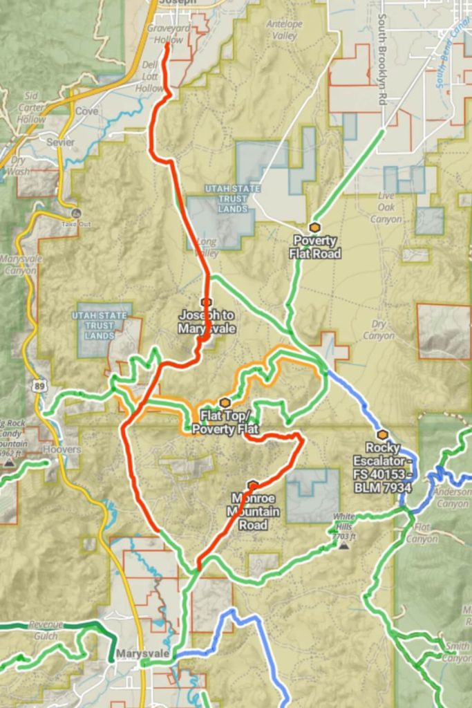
This trail stretches from Marysvale to Joseph in southern Utah, providing beautiful mountain views and connections to other trails, perfect for exploring the area. Be aware of possible snow in higher areas during early spring or late fall. The trail links to various paths in Poverty Flats and Fishlake National Forest, and offers stunning views of the Pavant Range to the north, known for its deer and elk.
The 6-mile path crosses southern Sevier County on BLM and private lands. It has some eroded and uneven sections with rocks, so a vehicle with high ground clearance is recommended. The trail is narrow but allows room for vehicles to pass each other. Enjoy the views, and make sure to take the required online education course and get your OHV sticker for off-roading in Utah.
How to get there:
This trail Joseph to Marysvale starting in Joseph you need to turn right on this point 38.613729, -112.222069. You will continue to drive on Joseph to Marysvale trail and on this point 38.591338, -112.227178. Less than a mile you need to turn left on this point 38.586000, -112.227498 and you will find the Flat Top trail. But if you want to drive on Mountain road trail you need to continue on Joseph to Marysvale and on this point 38.586000, -112.227498 you should turn left and you will find the Mountain Road. In this area you can find many small UTV Trails.
Soldier Canyon Road, Scorups Meadow Road, and Black Mountain Road
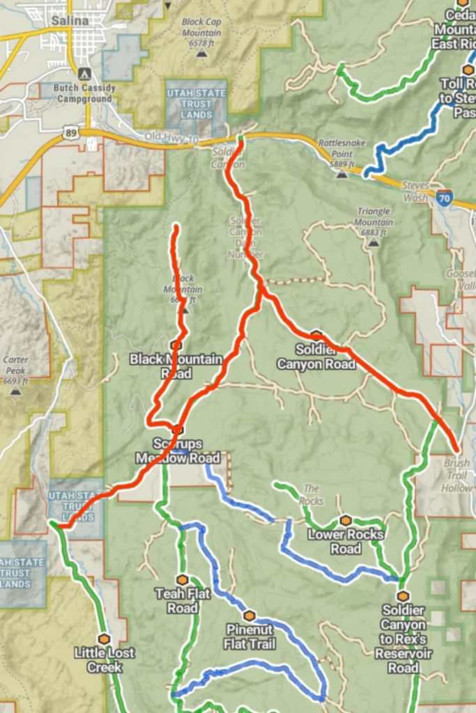
You can access Soldier Canyon Trail either from Old Canyon Road in Salina, UT at the north end, or from the I-70 frontage road or Gooseberry Road at the south end. This 7.2-mile trail climbs about 1,000 feet from north to south and is lined with cedar, sagebrush, and some desert grass.
Scorups Meadow Road is open all year. There’s a large water crossing at the west end where you should be careful during winter. The route is mostly flat, running from Soldier Canyon to Lost Creek, with a landscape of grasses, sagebrush, and cedar trees. You might see wildlife, especially if you visit early in the morning or in the evening.
Black Mountain Road runs across Black Mountain, starting near its southern end. The area is mainly covered with sagebrush and cedar trees and offers great views of Salina Canyon to the east and the northern part of Sevier Valley. It’s a good spot for spotting wildlife like mule deer and Rocky Mountain elk, depending on the season and time of day.
How to get there:
These trails are near Salina Town in Utah, so to start driving your UTV on Soldier Canyon Trail you need to drive on Old Highway 10 and on this point 38.932965, -111.809488 you turn right and you will continue on Soldier Canyon Trail. The Soldier Canyon Trail is 7 miles long and if you want to continue to drive on smaller trail Scorups Meadow Road you need to turn right on this point 38.897679, -111.803679. After a few miles on this trail you need to turn right on this point 38.864708, -111.827851 and you will find Black Mountain Road. Black Mountain Road is the smallest road in this Salina area with only 4 miles and total time to complete 20 miles.
Teah Flat Road, Rex's Reservoir to Lost Creek Road, and Soldier Canyon to Rex's Reservoir Road
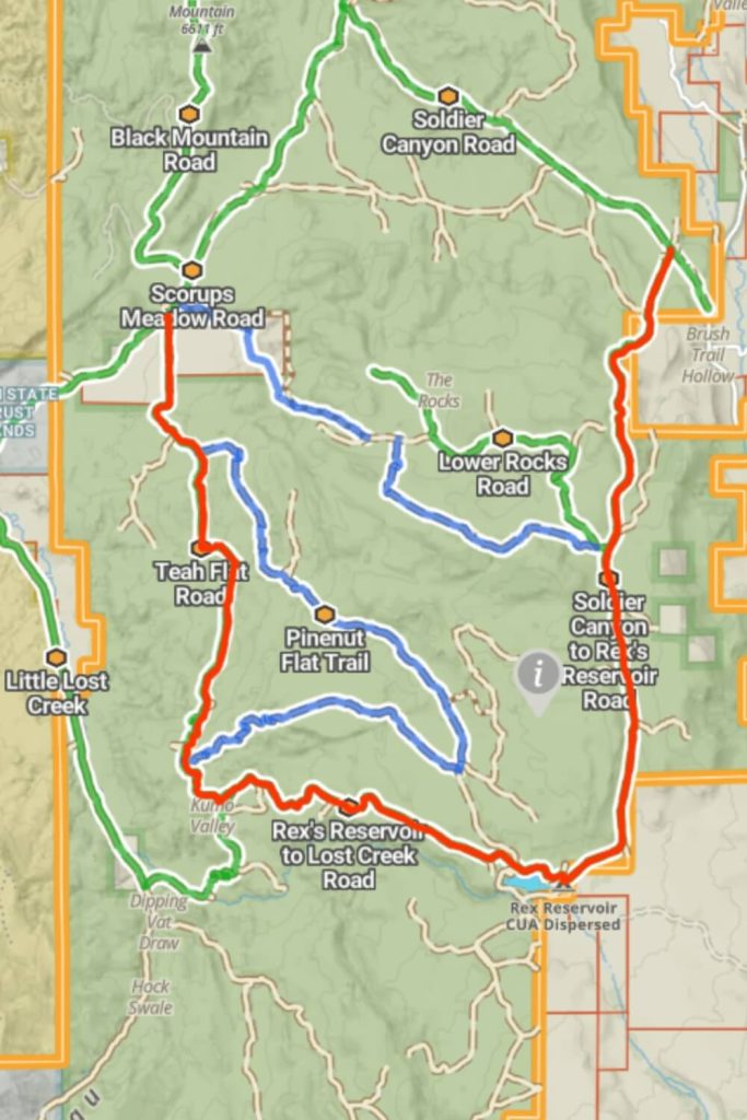
Teah Flat Road links Scorups Meadow Road and Lost Creek to Rex’s Reservoir Road. The area is mostly covered with sagebrush and cedar trees. If you time your visit right, you might see a lot of wildlife. To get to the north end, you’ll need to cross private property for about a quarter mile, so remember to close the gates behind you.
Rex’s Reservoir is accessible from the west on this well-maintained road. It’s a popular place for fishing from the shore, a float tube, or a kayak, and is also known for ice fishing in the winter.
This road is one of several that lead to Rex’s Reservoir and continues to an area called “The Rocks,” known for its rugged terrain. The road is bumpy and slow, offering a fun ride and good chances to see deer and elk. The road is maintained, especially in the summer and mainly through areas of private property.
How to get there:
This trail is connected with Scorups Meadow Road on this point you need to turn left at 38.858946, -111.831662, and then continue straight and you will drive on Tech Flat Road Trail. After 6 miles of driving on Teah Flat Road, you need to continue straight on this point 38.799181, -111.822015 and you will drive on Rex’s Reservoir to Lost Creek Road. After 6 miles of driving on Rex’s Reservoir to Lost Creek Road trail, you will find the Soldier Canyon to Rex’s Reservoir Road. After the camping ground of Rex Reservoir, you need to turn left on this point 38.788064, -111.768110.
Lost Creek Road
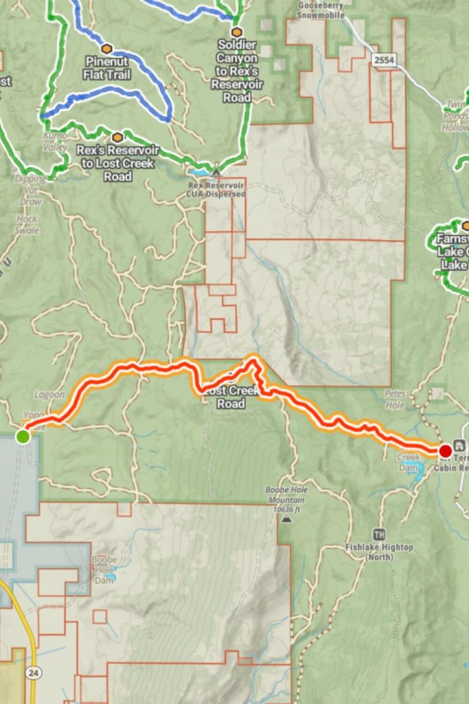
Lost Creek can be accessed via Gooseberry Road. The road, which is dirt and unmaintained, descends 2,600 feet over 11 miles and can be slick in inclement weather. The vegetation primarily consists of grasses, sagebrush, quaking aspen trees, and some scrub oak. The area is frequented by various wildlife, including mule deer, elk, coyotes, mountain lions, and wild turkeys. There are several unmaintained camping areas along the route.
How to get there:
This trail starts near the Sand Ledges Recreation Area, if you drive on Sand Ledges Road you need to turn left on this point 38.715542, -111.835734 and you will find this one trail. This trail is the only one in this area marked for UTV drive.
Forshea Mountain Overlook Loop, Pole Canyon Road, Forshea Troughs, and West Angle Road to Sam's Cabin
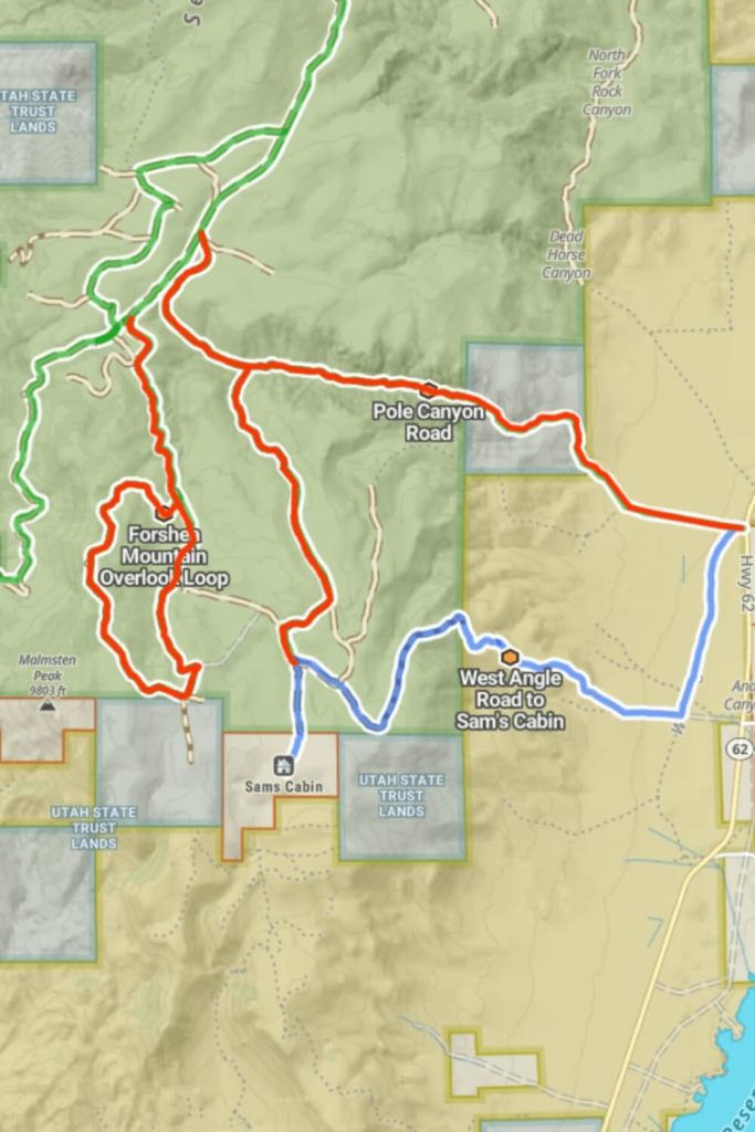
The forest reaches 9,502 feet, offering panoramic views and a look at 9,803-foot Malmsten Peak. The southwest loop includes an easy rock climb, and further on, the trail narrows through aspens with rock obstacles, but it’s passable with a 72-inch SXS. There are grassy meadows for summer camping and sunflower-covered Forshea Mountain also has blooming cacti at its peak.
Pole Canyon Road ascends over 2,000 feet from Highway 62 to the Paiute Trail System, featuring a dirt road that narrows in places. From the top, it passes through diverse landscapes like sagebrush, aspens, and pines, ending near Otter Creek Reservoir.
Starting steeply from Highway 62, the trail into Fishlake National Forest climbs 2,400 feet and connects to several forest service roads. It’s narrow with the potential for vehicle scratches. Nearby, a pond frequented by cattle marks the former site of Sam’s Cabin.
Forshea Troughs connects West Angle Road to Pole Canyon Road, skirting Pole Canyon Reservoir and crossing a creek. Early June usually brings mud from runoff, with the vegetation transitioning from sagebrush to pines.
How to get there:
Forshea Trail is connected with Papa Bear Trail, when you are driving on Papa Bear Trail you need to turn left on this point 38.294645, -112.075406. But if you want to go on Pole Canyon Trail you need to continue driving on Papa Bear Trail and this point 38.304230, -112.065183 you need to turn left and you will drive on Pole Canyon Trail. After a while driving on Pole Canyon Trail you need to drive and turn right on this point 38.302443, -112.062136.
Trails for every UTV Diver
Place to go
Explore over 2,000 miles of off-road adventure with breathtaking scenery. With elevations reaching beyond 11,000 feet, you can easily escape the heat and enjoy the cool mountain air!
Miles and miles
Boasting an extensive network of trails, the Paiute ATV Trails offer so many paths that it's impossible to explore them all in just one day, making this area ideal for multi-day rentals.
Campgrounds
The Paiute ATV Trails feature numerous lakes and campgrounds, perfect for anyone looking to combine multi-day UTV rentals with an immersive camping experience.
Beginner Friendly Trails
Many of the UTV trails on the Paiute Trails network are beginner-friendly, making them perfect for first-time riders looking to explore with a UTV rental.
location
The Paiute Trails are conveniently located less than a 2-hour drive from our Ephraim location, approximately 87 miles south in the heart of Central Utah.
Year-Round Adventure
Many of the Paiute Trails are best enjoyed during spring, summer, and fall, but for those seeking a more extreme adventure, several trails remain open throughout the winter season.
Why our customers choose Paiute ATV Trails
-
If you ride and enjoy getting into the great outdoors, then this place is for you! Miles and miles of great ATV and UTV trails. Trails range from easy to difficult, so pick up a trail map almost anywhere and know your route before you go. Take snacks, water and such to make your ride enjoyable. Don't forget to carry fix a flat and plugs for the tires in case you may need it. Be safe and be courteous to your fellow riders. Keep it clean and enjoy!
 Rick PCustomer
 -
Spent two days on the trails with family (no teenagers but not a choice above) on rented machines. We had a blast it was a great time! The locals were extremely helpful and friendly.
 Phillip MillerCustomer
 -
You can't possibly ride them all. But it's fun spending a day getting in what you can. Gorgeous high mountain scenery, the fresh smell of pine, reservoirs, few other riders, streams and the open trail. This is where you truly get away from it all.
 John GarciaCustomer
