Skyline Drive Trails: The Best Beginner-Friendly Routes in the Arapeen OHV Area
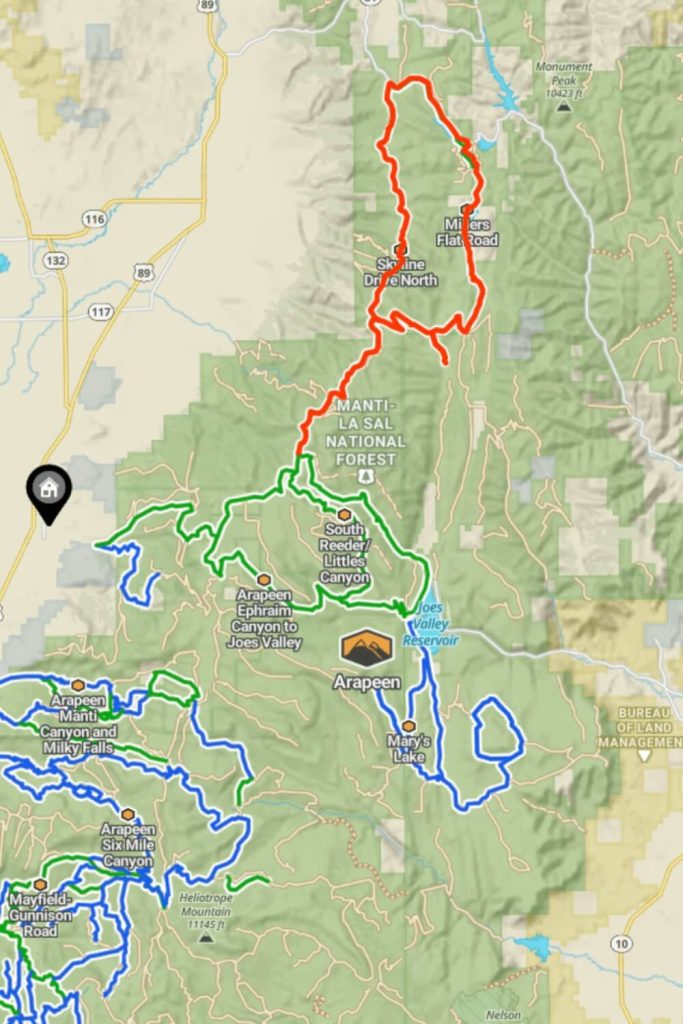
North of Arapeen Ephraim Canyon to Joes Valley are Skyline and Millers Flat Road trails.
Skyline Drive is a magical place to ride a UTV. It is a long, scenic road that many people in Utah are not aware of. The drive takes you right along the top of the mountains, where you can find some excellent fishing lakes. From certain vantage points, you can see both east and west; on clear days, you can even catch a glimpse of Colorado in the distance, and with a bit of luck, Nevada as well.
However, the real magic lies in the expansive views, not just seeing into other states. Be sure to bring your camera to capture the stunning landscapes.
You can drive the Skyline Drive in a day, but it would be quite long by my standards. Without stops, it took us approximately 6-7 hours of driving time. Given the incredible views and primitive camping opportunities, I recommend planning at least an overnight trip. This allows more time to explore the lakes and soak in the scenery. In my opinion, the best camping spots are south of the Ephraim junction.
How To Get There
The drive is almost 100 miles long and, for the most part, is between 9,000 and 10,800 feet in elevation. Riding in a UTV would take between 5-6 hours one way. The north part is passable by crossover vehicles, and I have even seen cars on it, though that is stretching it. The southern part gets much rougher in some places and is best navigated by a UTV. I have driven the whole route in my truck before, but it was quite rough in some areas. Even a four-wheel-drive truck struggled on some of the miles. If you need a helpful off-road map, you can register on onX Maps and explore the Skyline Drive Trails.
The best time to visit
Summer and fall months are the perfect for visiting the Skyline Drive Trails. In the early summer months, you can find some areas with snow, but most of the trails are clear. In the late fall months with heavy rain days, most of the trails are muddy.
Terrain Difficulty
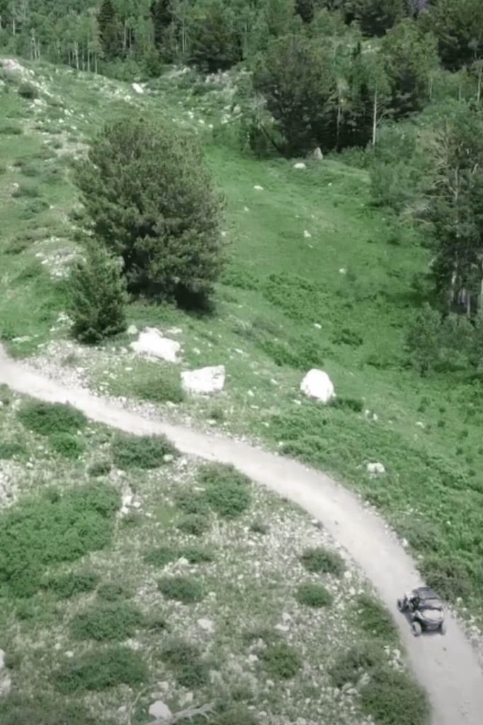
Skyline trails are easy, and they can be driven even beginners. On the Millers Flat Road trail, mud crossings can reach up to 10 inches if it has rained recently. The route includes narrow bridges, tight turns, some rocky sections, and steep hills, although most of the road is a dirt path wide enough for two vehicles.
Trail Surface
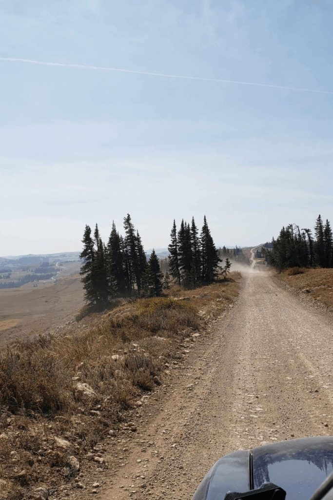
The surface type on Skyline North, Skyline South Road, and Millers Flat Road primarily consists of dirt and mud. These roads offer a rugged, natural terrain that can vary with weather conditions. In dry periods, expect dusty and firm dirt paths, while wet conditions can turn the roads muddy and slick, presenting additional challenges for navigation.
Accessibility
Skyline North, Skyline South Road, and Millers Flat Road are full-width roads, providing ample space for vehicle passage. These trails are designed to accommodate wider vehicles, ensuring a comfortable and accessible driving experience. The combination of dirt and mud surfaces adds to the rugged charm of these scenic routes.
Skyline Drive South
The 9-mile trail starting point is in the north part of Arapeen Ephraim Canyon to Joes Valley near the North Tent Mountain. The best time to visit is summer and fall because in the gates are closed in winter and late fall mounts. Still, expect to find snow and muddy conditions into the early summer months.
Skyline Drive South Trail is connected with Arapeen Ephraim Canyon to Joes Valley. To drive there you need to drive a few miles of Arapeen Ephraim Canyon to Joe’s Valley and on this point 39.395199, -111.382172 you will turn left. The Skyline Drive South is 9 miles long trail and it connects with Skyline North.
Skyline Drive North
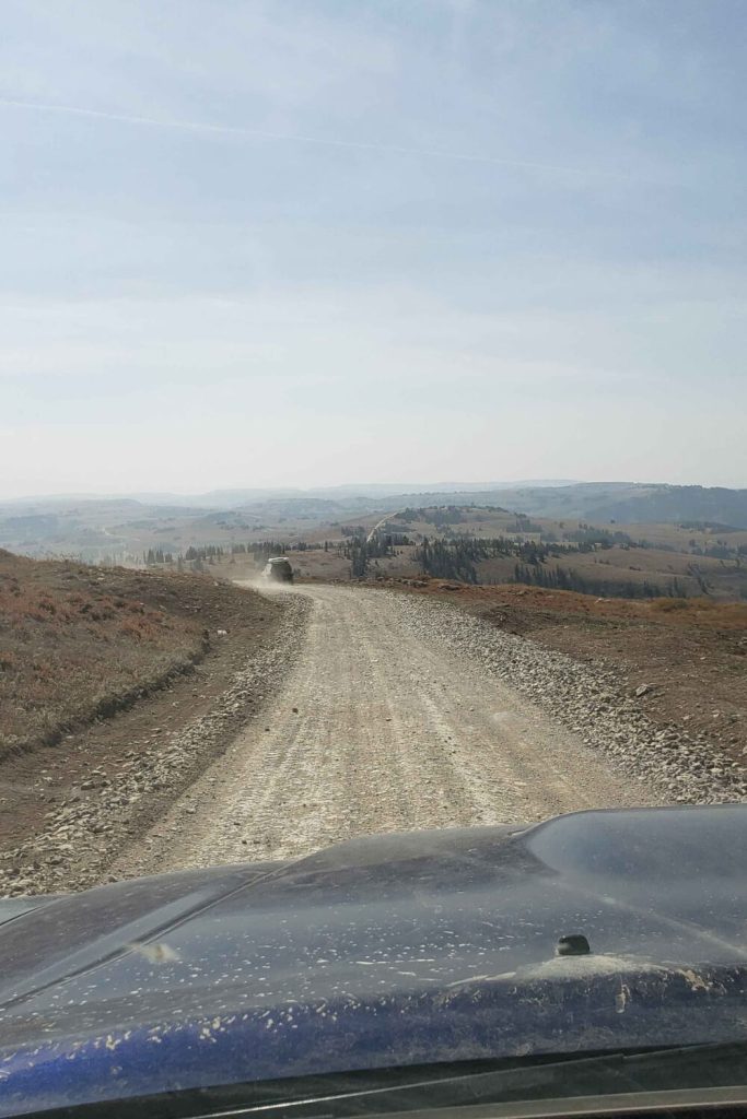
The 17-mile trail, as a high mountain trail, expects steep drop-offs and slopes. In dry conditions, the trail is easy and fast along the ridgeline. Wildlife and livestock sightings are common. This trail is easy and very compatible with new UTV drivers. The southern part of the trail is near Potters Pods Camping ground and lakes.
Skyline Drive Trails (South and North) are connected so after 9 miles of South trails you will continue to drive on Skyline Drive North Trail. On this point 39.475694, -111.323826 you are at the start point of the Skyline Drive North Trail.
Millers Flat Road
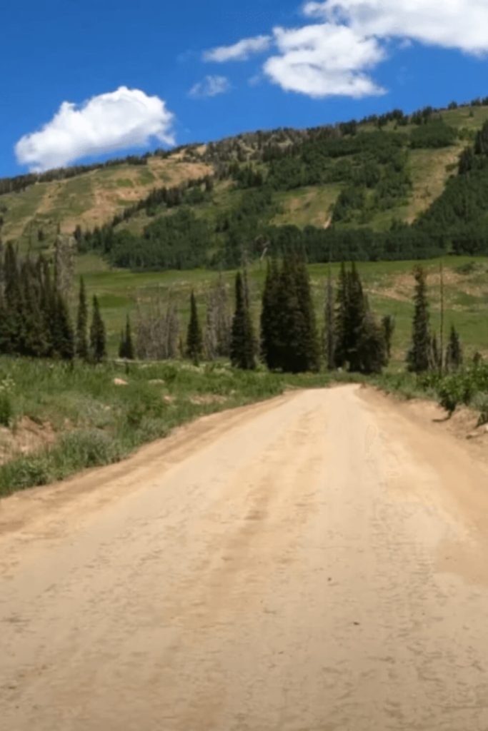
This 18-mile trail is connected with the previous Skyline Drive North and Skyline Drive South. The starting point of the Millers Flat Road is the Skyline Drive South end and you need to turn right on this point 39°28’03.2″N 111°16’42.6″W. This trail is also easy for UTV driving. The total time to complete this trial is 2 hours. There you will find Miller Flat Reservoir Lake which is the favorite for fishing and camping in this area. Also, near the Miller Flat Road is the Cleveland Reservoir, a lake for fishing and camping near this natural beauty. After passing the Cleveland Reservoir on the left side is Huntington Reservoir, also a lake for fishing who have some of the most visited camping spots.

Trails for All Off-Road Vehicles
UTV driving is the main and most popular activity in Skyline Drive Trails, offering thrilling experiences with diverse terrain and breathtaking views.
Fishing
Fishing is a popular activity in Skyline Drive Trails, offering access to high-elevation lakes and streams teeming with trout.
Campgrounds
Many people choose the Skyline Drive Trails and Millers Flat Road for camping and fishing because of the various lakes near each other and camping spots.
