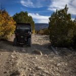
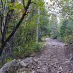
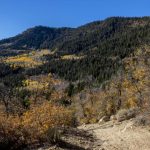
Off-Roading with Utah UTV Rentals at the Arapeen OHV Trail System
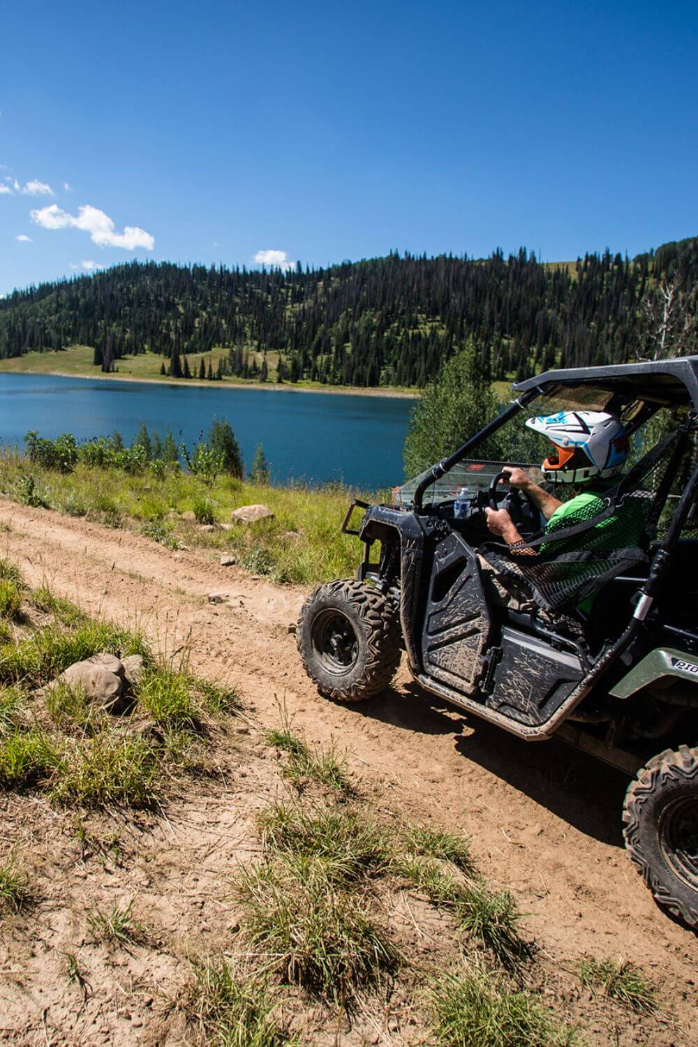
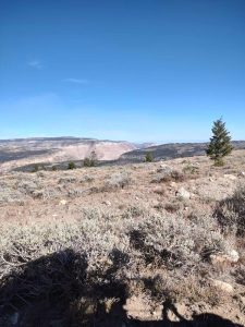
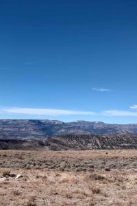
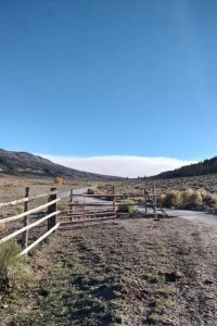
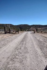
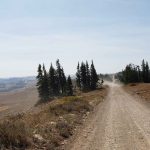
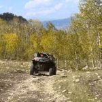
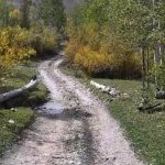
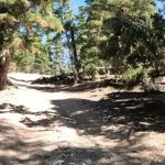
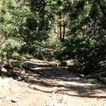
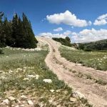
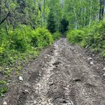
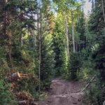
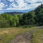
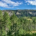
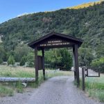
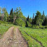
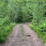
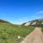
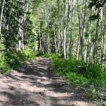
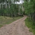
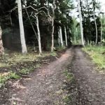
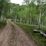
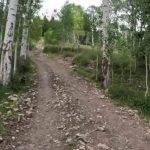
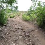
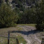
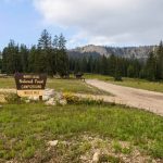
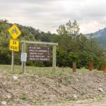
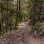
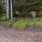
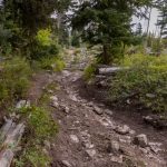
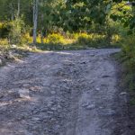
Arapeen OHV Trails has something for every UTV driver, from easy trails for practicing your driving skills to challenging trails even for pros. 600+ miles for exploring with UTV, most of the trails are for All-Terrain Vehicle and Utility-Terrain Vehicle. Many of the trails are in the Manti-La Sal Forest, and others are with high clearance. From our location in Ephraim, you can enter Arapeen Trail from Arapeen Ephraim Canyon to Joes Valley Trail. The nearest cities are Manti, Sterling, and Mayfield. So you will need around a 15-minute drive to get there.
What offers Arapeen OHV Trails?
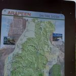
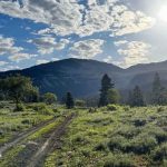
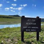
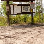
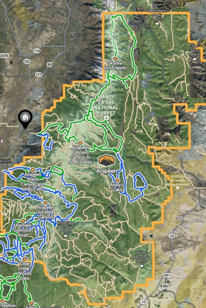
In this Central area of Utah, you would find a lot of Lakes, small Rivers, camping spots, and picnic areas. The trails themselves are well-marked and interconnected, making it easy for riders to navigate through the system. However, given the vastness and complexity of the trail network, having a map is essential. Maps are readily available and are crucial for planning your route and ensuring you make the most of your time on the trails. They help you identify key points of interest, trail difficulties, and other important information to tailor your adventure to your preferences.
Trails for Beginners
Moderate Trails
High Clearence 4x4 Trails
50” Trails
60” Trails
Full Width Roads
Arapeen OHV Riding Area
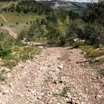
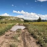
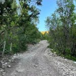
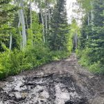
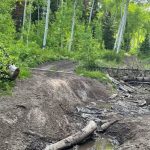
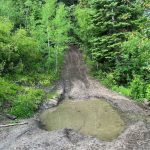
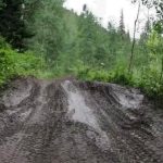
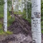
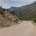
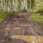
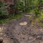
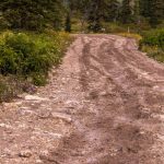
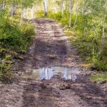
The Arapeen OHV Trails offer a rich experience for every UTV driver, with over 600 miles of trails suitable for all types of off-road vehicles. The trails are mostly dirt surfaces, but changing weather can create muddy areas. Some popular UTV trails include Skydrive Trails, Arapeen Six Mile Canyon, and Mayfield-Gunnison Road.
You can find the full trail map on OnX Offroad with useful information and coordinates.
Ephraim Canyon Side Trail
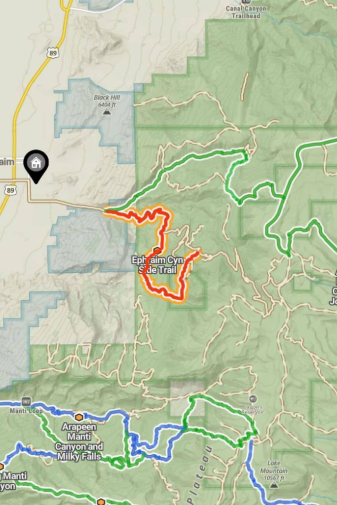
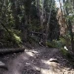
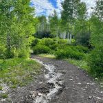
The Ephraim Canyon Side Trail is the first and easiest trail, perfect for beginners. Starting off the main Ephraim Canyon Road, 2 miles from the canyon’s entrance, the trail initially follows dirt roads. After 2.8 miles, you turn right onto Willow Creek Road, traveling another 1.4 miles before taking the side trail 51230. Here, the trail narrows and winds through the trees, offering a scenic and enjoyable ride with some rocky sections but still rated as lower intermediate in difficulty. After about 3.4 miles, the trail reconnects with Ephraim Canyon Road, making the total distance a little less than 8 miles.
The Ephraim Canyon Side Trail starts at coordinates 39.331200, -111.509819, and after 2.8 miles, you turn right onto Willow Creek Road, a small unmarked trail, for a scenic ride through the trees.
Mary's Lake and North Dragon to Horn Mountain
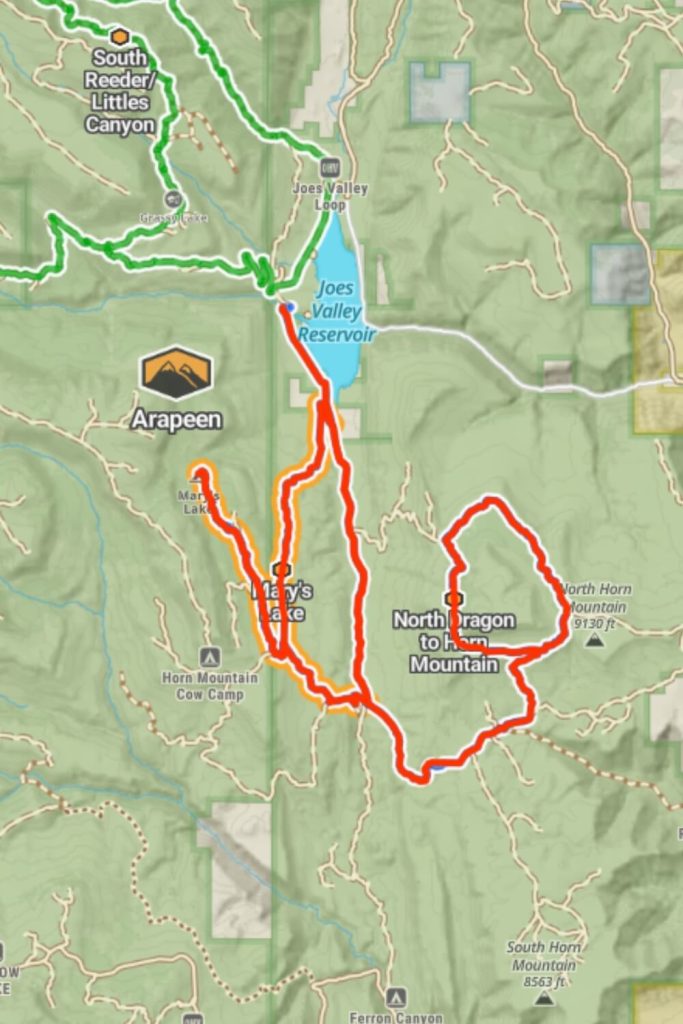
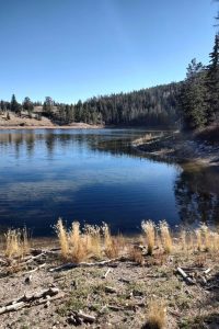
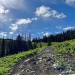
Experience an elevation change of over 1,500 feet, transitioning from sagebrush to alpine forest with dispersed camping and fishing at the lake. The fun trails in this area connect to the Horn Mountain Trail. Be prepared for difficult travel during rain or snow due to steep climbs, but enjoy the stunning views and pretty meadows along the way. Starting at 7,000 feet and climbing to over 9,100 feet, you’ll traverse from sagebrush to high alpine slopes with pine, aspen, and great vistas. The trail is wide enough for 4-wheel drive vehicles, and in wet or muddy conditions, a 4-wheel drive is necessary. Many primitive camping spots are available, although expect significant backtracking to return to the starting point. The Mary’s Lake Trail is 15 miles long, while the North Dragon to Horn Mountain Trail spans 30 miles. Completing these trails will take approximately 2 hours and 30 minutes. The nearest trail to this area is the Arapeen Ephraim Canyon to Joes Valley trail.
Souther of Joes Vallery Lake you will find Marys Lake trail 39°15’20.4″N 111°17’13.8″W and the coordinates for Mary Lake are 39.253138, -111.320046.
From starting point on Marys Lake trail if you turn left you will find the North Dragon Trail 39.266026, -111.281207.
Skyline Drive Trails (North and South) and Millers Flat Road
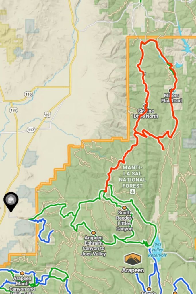
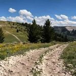
The Skyline Drive Trails, both North and South, along with Millers Flat Road, offer some of the most scenic off-road experiences in the area and are directly connected with the Arapeen Ephraim Canyon to the Joes Valley trail. Skyline Drive South is a 9-mile trail that provides breathtaking views at around 10,000 feet elevation, perfect for a summer or fall adventure. Skyline Drive North, a 17-mile section, also sits at 10,000 feet and offers similarly stunning vistas and is best visited in dry conditions for an easy and fast-moving ride. Millers Flat Road, spanning 18 miles, is well-maintained and features enough technical driving to keep it exciting, passing through beautiful scenery and connecting to multiple reservoirs. These trails are integral parts of the Arapeen trail system, ensuring a memorable and picturesque off-road experience.
If you drive on Arapeen Ephraim Canyon and you turn left on this coordinates 39.393152, -111.381894 you will find Skyline Drive Trails.
Exiting Manti Canyon and Stock Driveway
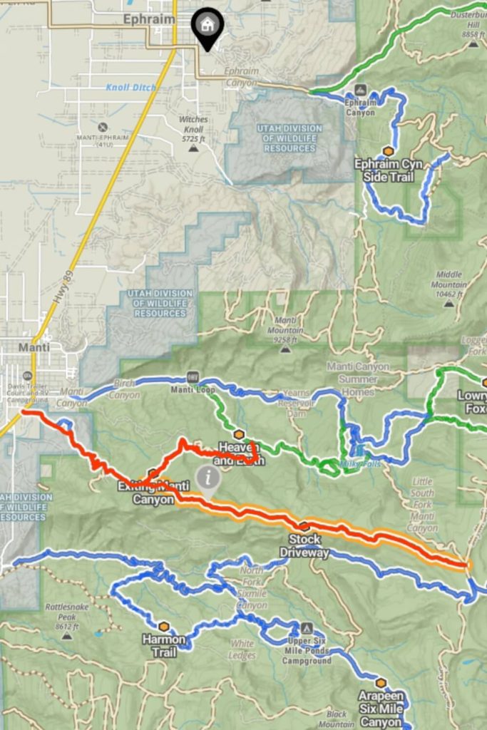
The Exiting Manti Canyon and Stock Driveway trails, located near Manti, offer a variety of terrain for an exciting start to the Arapeen trail system. These trails are interconnected and provide a mix of rocky hill climbs in the west and fast straights in the east, with several mudholes during wetter weather. The Stock Driveway trail connects to Patton Trail in the west and reaches Skyline Drive just shy of 10,000 feet in the east.
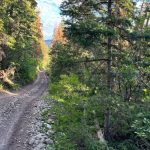
This side trail travels through the forest from the intersection of Bench Road and Manti Canyon Road, wide enough for full-size SxSs and Jeeps, with an optional 66-inch gated section. While mostly downhill, it includes several uphill rocky sections following deep mud holes. Using low gear and 4-wheel drive ensures a smooth climb. Although mostly tree-covered, there are a few open areas perfect for breaks or lunch. The trail ends with a great view of Manti and the Mormon Temple. From the start just off Bench Road to the end at State Route 89, the distance is just under 9 miles.
When you drive on Highway 89 after you exit the Manti town you should turn left on 39.252839, -111.640610, then you will continue on Manti Canyon Road. And if you turn left on this point 39.257802, -111.557270 you will find the small tail Stock Driveway.
Arapeen Manti Canyon and Milky Falls, Heaven and Earth, Burnt Hill and Patton's Boot Trails
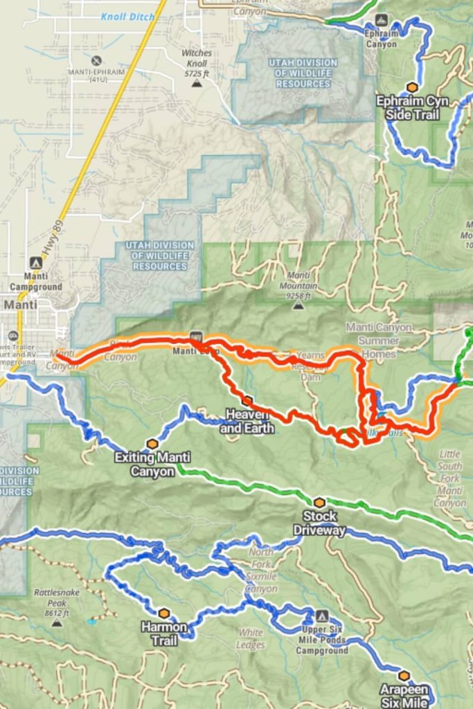
The trails in Manti Canyon offer a diverse range of experiences for outdoor enthusiasts. One route, open to all vehicles, winds through the stunning Manti Canyon, featuring a steady climb and a stop at the beautiful Milky Falls. The route ends at Skyline Drive, presenting endless possibilities for further exploration.
Another trail, aptly named “Heaven and Earth,” serves as the first entry point into the Arapeen trail system. This trail provides access to hundreds of miles of breathtaking scenery.
A third trail begins in dense pine and aspen groves, quickly opening into green pastoral fields with majestic white cliffs, sweeping valley vistas, and inspiring mountain views. It concludes with a “choose-your-own-adventure” water crossing and sandy creek beds with shallow crossings.
Lastly, a short, mostly flat route skirts the east side of Burnt Hill, offering views of Milk Creek. At its midpoint, it connects to various other trails that wind around Burnt Hill, providing additional exploration opportunities.
When you drive on E 550 S Street in Manti Town and on this point 39.256904, -111.623189, you should only continue just straight and you are on Manti Canyon Road. If you turn right on this point 39.256219, -111.548523 you will continue on Heaven and Earth trail if you continue straight, and on this point 39.240878, -111.542621 you turn left you will on Burnt Hill Trail, the end of Burnt Hill Trail is on this point 39.237784, -111.527160 and you will on Patton’s Boot Trail.
Green Springs Trail, Lowry Fork Fox Run and Middle Fork
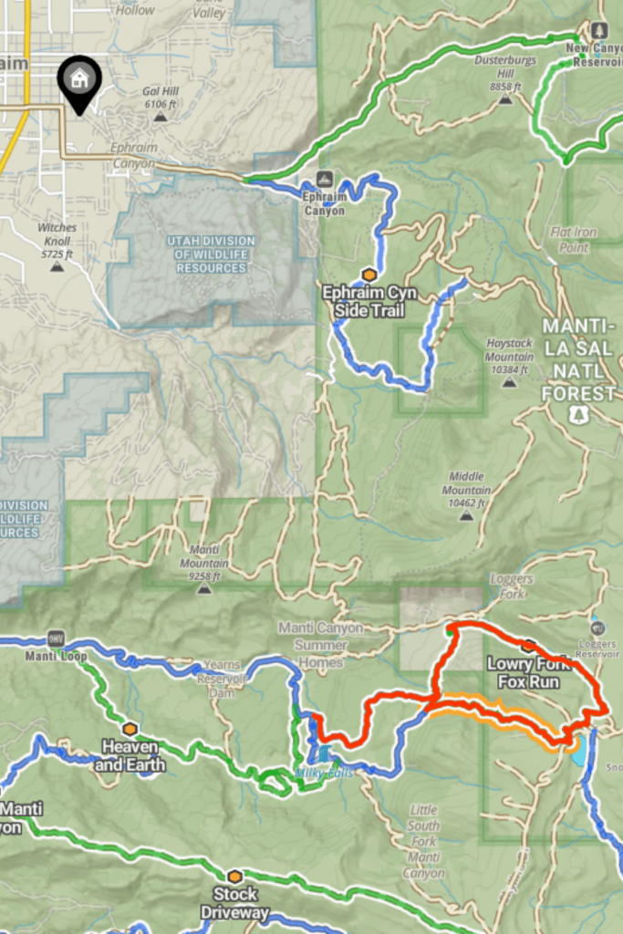
Starting from Milk Creek, the trail quickly dives into beautiful pine forests. It’s not difficult, but technical enough to keep your ride interesting, making it a great starting point for exploring the upper ATV trails in the canyon.
Though easy to find off Skyline Road, this trail is often overlooked. It’s a gem in plain sight, offering stunning views and a tranquil stream from the summit. The trail goes through a large meadow, then slightly downhill to a Forest Service marker. Take the left trail, rated intermediate, which narrows but fits full-size SxSs or Jeeps. You’ll go through a narrow canyon with great scenery, encountering muddy sections and alternating uphill and downhill paths with open meadows for stops.
As you get closer to the summit, the trail becomes smoother and more pastoral. Near Manti Canyon Road, it gets rougher and rockier. Be cautious if descending from Skyline Road, as the trail can be deceptively challenging.
If you are on Patton’s boot trail you need to turn left at this point 39.248657, -111.524236 and you will find the Green Springs Trails. The end of Green Springs Trail continues the Lowry Fork Trail, on this point, you need to turn left. But if you want to continue on Middle Fork Trail you need to turn right on the previous coordinates and at 39.251876, -111.496825 point you need to turn left.
Cove Lake and Willow Bunch Trails
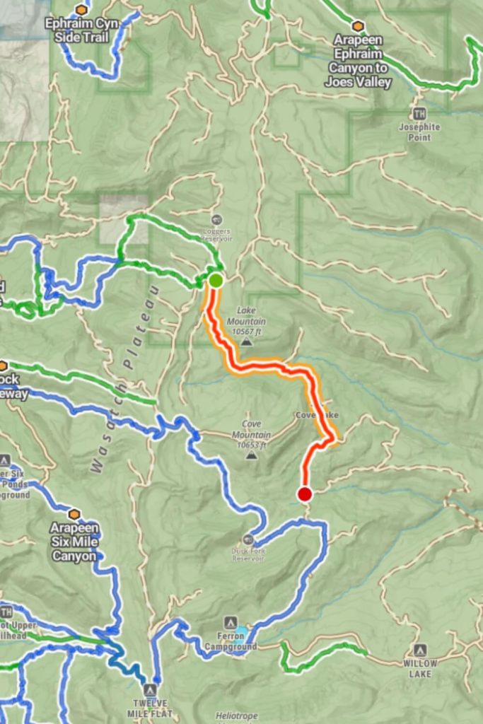
Connecting to Skyline Drive at the north end, this trail offers quick access to the southwestern part of the trail system. It features fun hill climbs and fast straights. Around the midway point, you can take a break at Cove Lake.
This is the western section of a larger loop connecting to McEwan Flat and providing access to the Cove Lake trail. It’s short and simple, with a couple of easy hill climbs and a few mudholes. This trail is a great transition between the northern and southwestern parts of the trail system.
The Cove and Willow Bunch trails feature hill climbs with loose rocks and a couple of mudholes, offering an exciting and varied riding experience.
Where Middle Fork and Skyline Drive Trail connect (39.244147, -111.467382) you need to turn left and continue on Skyline Drive Trail. After 0.2 miles you need to turn right (39.245910, -111.461912) and you will find Cove Lake Trail.
Mayfield-Gunnison Road, Birch Creek Trail, and Giant Aspen Trail

The main access road to Mayfield Canyon is a 17-mile, easy trail. This well-maintained, wide gravel road allows two-way traffic and offers plenty of primitive camping spots along the way. Many camping locations have bathrooms maintained by the forest service. The road is well-kept and two lanes wide, with some steep grades and occasional shallow water crossings during inclement weather.
The Birch Creek Trail is a moderate trail featuring very rocky, rutted, and off-camber terrain with erosion, loose rocks, washes, exposed tree roots, and obstacles such as fallen trees up to 1 foot tall. It also includes ledges and short, steep grades, with minimal water crossings.
The Giant Aspen Trail is a small but moderate trail that requires more UTV experience. It is very rocky, rutted, and off-camber, with erosion, loose rocks, and obstacles up to 1.5 feet tall. This trail includes small washes across the road and short, steep grades. In inclement weather, it can become very slick and difficult to navigate.
When you start from Maryfield and continue on E Canyon Road, the starting point of Mayfield Canyon is 39.107108, -111.679013. After 4 miles on this trail if you turn left you will find a small moderate trail Birch Creek Trail. If you continue on Mayfield Road and on this point 39.142750, -111.528484 you turn left you will find the Giant Aspen Trail.
You can start the Pinchot to Cowboy Camp trail from this point 39.135533, -111.563270, or if you are on Mayfield Road you can turn right on this point 39.141256, -111.504447. Those trails are pretty well connected.
Pinchot to Cowboy Camp Trail, Cowboy Camp Road, and Julius Pasture-South Fork Road
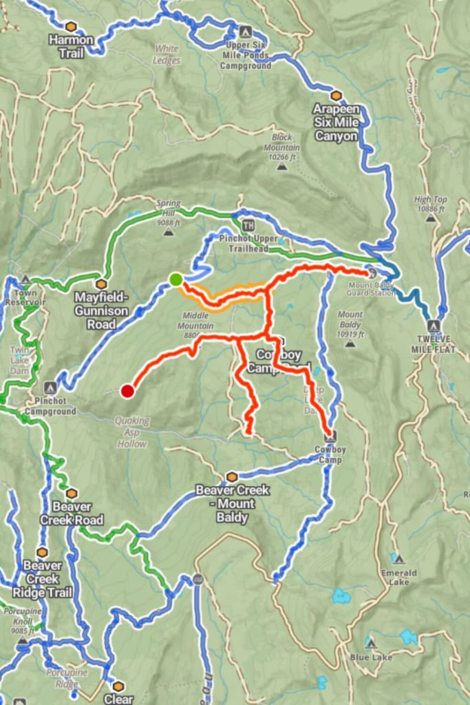
The Manti-La Sal National Forest offers several rocky trails, perfect for experienced or professional drivers.
The Pinchot to Cowboy Camp trail takes you through aspens and pines, lush with wildflowers and grasses, with wildlife visible, especially in the early morning or late evening. Cowboy Camp Road leads to Deep Lake, ideal for primitive camping. The unmaintained road is very rocky, rutted, and off-camber, with erosion, loose rocks, and obstacles up to 1.5 feet tall. It can be slick and difficult in bad weather.
Another trail heads north-south to Julius Pasture. It’s very rocky, rutted, and off-camber, with erosion, loose rocks, washes, and obstacles up to 1 foot tall. It also has minimal water crossings.
These trails are recommended for those with significant driving experience or professional skills.
Mount Baldy Road, and Step Flat Trail
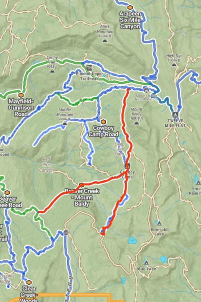
Mount Baldy Road provides access to the north and west sides of Mt. Baldy, part of a 12-mile, moderate trail system. This unmaintained road is challenging in bad weather, with rocky, rutted, and off-camber sections, erosion, and obstacles up to 1.5 feet tall. It includes small washes, ruts, and steep grades, making it unsuitable for beginners. There are a few primitive camping sites accessible by full-size vehicles on the north end.
The Step Flat Trail, part of the same 12-mile system, runs between Shingle Mill Reservoir and Skyline Drive. This unmaintained trail is rocky, rutted, and off-camber, with erosion, loose rocks, and obstacles up to 1.5 feet tall. It includes small washes and steep grades, making it challenging for beginners, especially in bad weather.
If you are on Mayfield Road and you turn right at 39.141243, -111.504455 you will find Mount Baldy Road. Continue to drive on that road you will find the crossroad, if you continue left at this point 39.109922, -111.514000 is Step Flat Trail and if you turn right you will find Beaver Creek – Mount Baldy.
Beaver Creek Trails
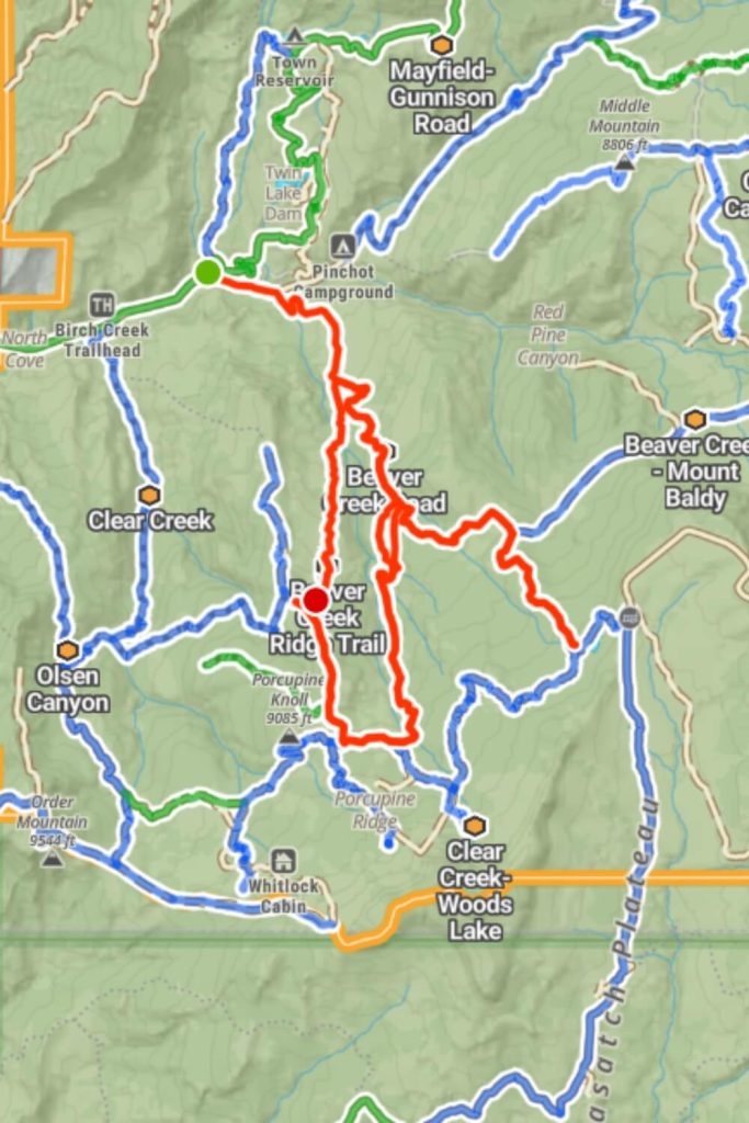
The area features several short, easy trails and roads that traverse the scenic Manti-La Sal National Forest. Beaver Creek Road connects with multiple trails, running east-west between Mayfield-Gunnison Road and Skyline Drive. The landscape is covered with pine, aspen, and cedar trees, along with wildflowers, brush, and grasses. Wildlife is often seen along these trails, especially in the early morning or late evening.
These trails are very rocky, rutted, and off-camber, with erosion, loose rocks, washes, exposed tree roots, and obstacles. Despite being unmaintained and potentially challenging in inclement weather, they are short and easy to navigate, providing a connected network from Beaver Creek Road to Anderson Canyon Trail.
This trail is connected with Beaver Creek – Mount Baldy 39.103410, -111.516659 and with Birch Trail on this point 39.125083, -111.534668. Every Beaver Creek Trail is connected with each other so you will find easy your favorite one.
Order Mountain Trail
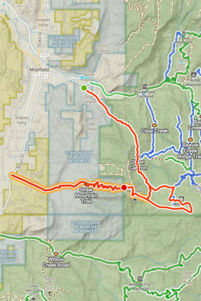
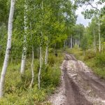
The Order Mountain Trail is the latest addition in the southeast part of the Arapeen OHV Trails, designed for advanced UTV drivers. This beautiful trail offers amazing views of the valleys and neighboring peaks. Although the road remains open to UTVs and ATVs, nature has made it quite challenging. There are several spots along the road where a wide SxS might lose some paint. The road can be muddy in early spring, and most of it is rocky with pockets of heavy shale. There are several tight turns and paths through vegetation that make it difficult for overland or 4×4 vehicles. The higher elevations are covered in grassy meadows, aspens, and pine trees, while the lower areas are filled with cedar and oak brush.
When you drive on Main Street you need to turn left 39.054689, -111.731496. And if you start the trail from Mayfield you need to drive on E Canyon Street and you need to turn right on 39.106978, -111.679304.
WHY ARAPEEN OHV TRAIL SYSTEM?
Trails for All Seasons
Those Arapeen Trails are open all seasons, there are different types of trails for every season.
Trails for All Off-Road Vehicles
The Arapeen OHV Trail System accommodates all types of off-road vehicles, offering a versatile and accessible adventure for every off-road enthusiast.
Campgrounds
On the Arapeen OHV Trails, you can find campgrounds perfect for UTV rentals, offering convenient access to the extensive network of off-road adventures.
Beginner Friendly Trails
The Arapeen OHV Trails feature routes suitable for UTV riders of all skill levels, ensuring a diverse and enjoyable experience for everyone.
location
The Arapeen OHV Trails, located in central Utah near Ephraim and Manti, are conveniently close to gas stations and other markets.
Stunning Nature
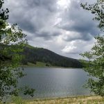
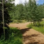
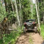
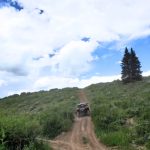
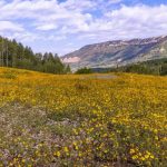
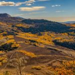
Offering stunning views and nature, the Arapeen OHV Trails include forest routes that provide the perfect off-road experience.
What Clients Say about Arapeen OHV Trails
-
The Arapeen trail system is awesome. My son and I spent two days riding ATVs in that area, following routes shown on the Central Utah Arapeen OHV Trail Map and staying overnight in Manti. It was honestly one of those "experiences of a lifetime" for us, and we wouldn't have been able to do it without the excellent trail map, both in paper form and the Avenza form, the latter being super helpful to find out exactly where you are after playing all day!
 Robbino KerryCustomer
 -
Over 100 miles of ATV trail in one day. The beauty that we seen during the day was awesome. we made two night rides and that was also spectacular. The fall colors were just starting and it was a different sight coming around every corner. our next trip is already planned.
 Walkermj61Customer
 -
Just got back from a fantastic weekend riding the arapeen trail. Fall colors where just changing, the trial is for all riders, just ride with in your abilities some got a little technical but nothing to over whelm you.
 Rex SCustomer
