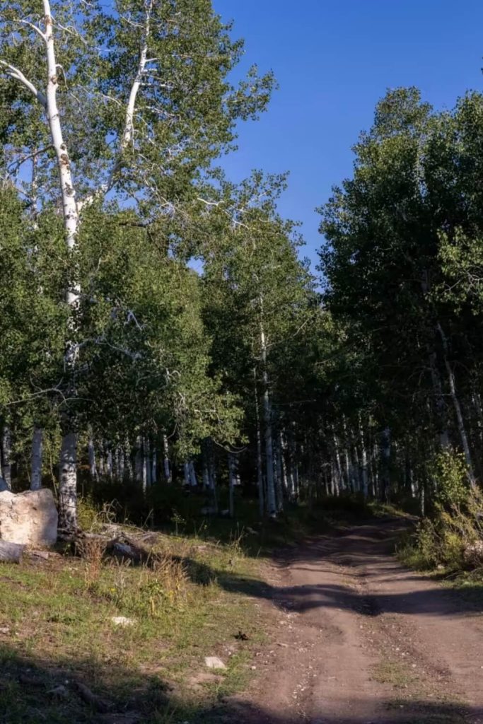
Beaver Creek Road, Beaver Creek-Clear Creek Road, Beaver Creek Road
The Beaver Creek Trails, part of the Arapeen OHV Trail System, offer a picturesque and exciting adventure for UTV enthusiasts, winding through the rugged landscapes of central Utah. This trail system includes several interconnected routes, such as Beaver Creek Road, Beaver Creek-Clear Creek Road, and another segment also called Beaver Creek Road. Each trail presents unique challenges and scenic beauty, making them popular with both beginner and experienced riders. These trails are also connected to Mount Baldy Trails and Step Flat Trail, enhancing the exploration opportunities with moderate difficulty levels and stunning natural surroundings.
Beaver Creek Trails are connected with Mount Baldy Trails and Step Flat Trail. These trails are moderate and with a stunning nature. Trails are rocky and potential for minimal water crossings during inclement weather.
The trails are well-maintained, ensuring a safe and enjoyable experience while still providing the ruggedness that off-road adventurers seek. With a mix of breathtaking views, wildlife sightings, and varied riding conditions, the Beaver Creek Trails are a top destination for UTV riders wanting to explore Utah’s natural beauty and outdoor excitement.
Location
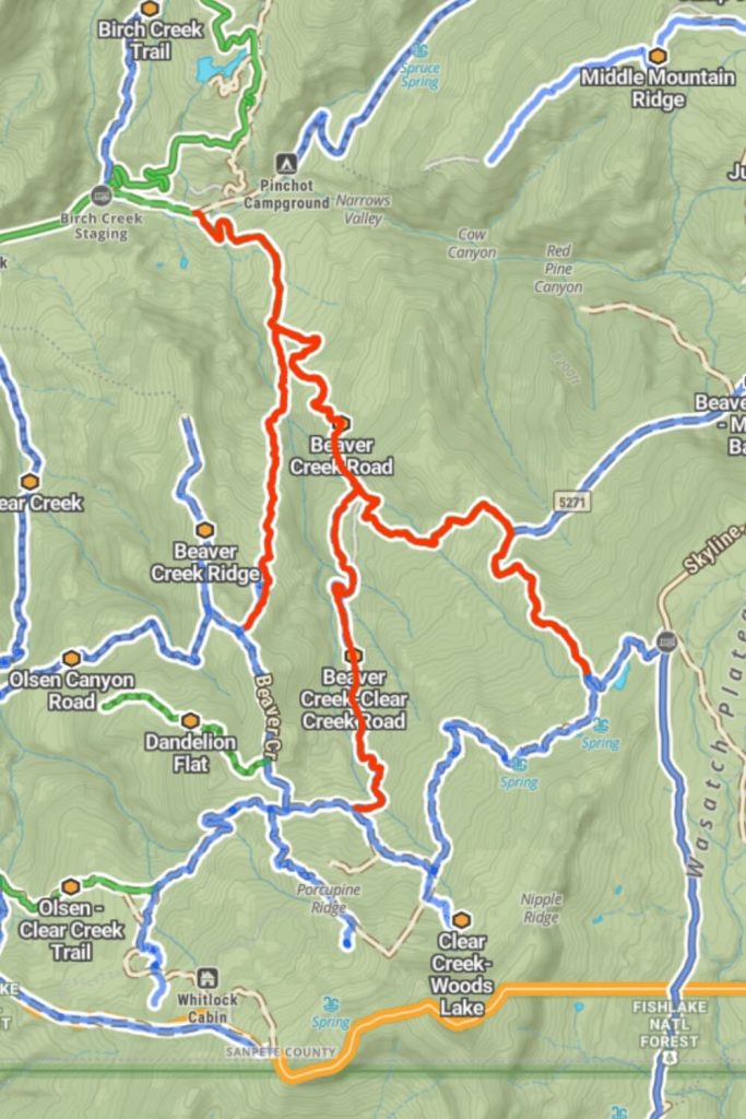
Beaver trails are in the middle of Mayfield Trails and Mout Baldy Trails. You can find them if you are starting from Mayfield town and you need to continue driving on Mayfield-Gunnison Road. After a mile, you need to turn right on this point 39.107277, -111.606782 and you will find the Beaver Creek Road.
Beaver Creek Ridge Trail is connected with Beaver Creek Road. From the starting point, you need to drive 1.3 miles and on the right side on this point 39.1072600, -111.6067188 you will find the Beaver Creek Ridge Trail.
Beaver Creek-Clear Creek Road is the last trail for UTV drivers. You can find the trail if you continue to drive on Beaver Creek Road and on this point 39.083181, -111.588856 you need to turn right. But you can find the trail if you are finished with the Beaver Creek Ridge trail and you need to continue straight on this point. After a mile, you will find the Beaver Creek-Clear Creek Road.
Navigating these trails is made easier with the use of onX Maps. This app provides detailed information and navigation assistance, ensuring riders can find their way and discover helpful trail data. onX Maps is an invaluable tool for planning your trip and staying on course. For those renting from Utah UTV Rentals, onX Maps will enhance your riding experience by providing precise navigation and insightful details about each trail.
Difficulty
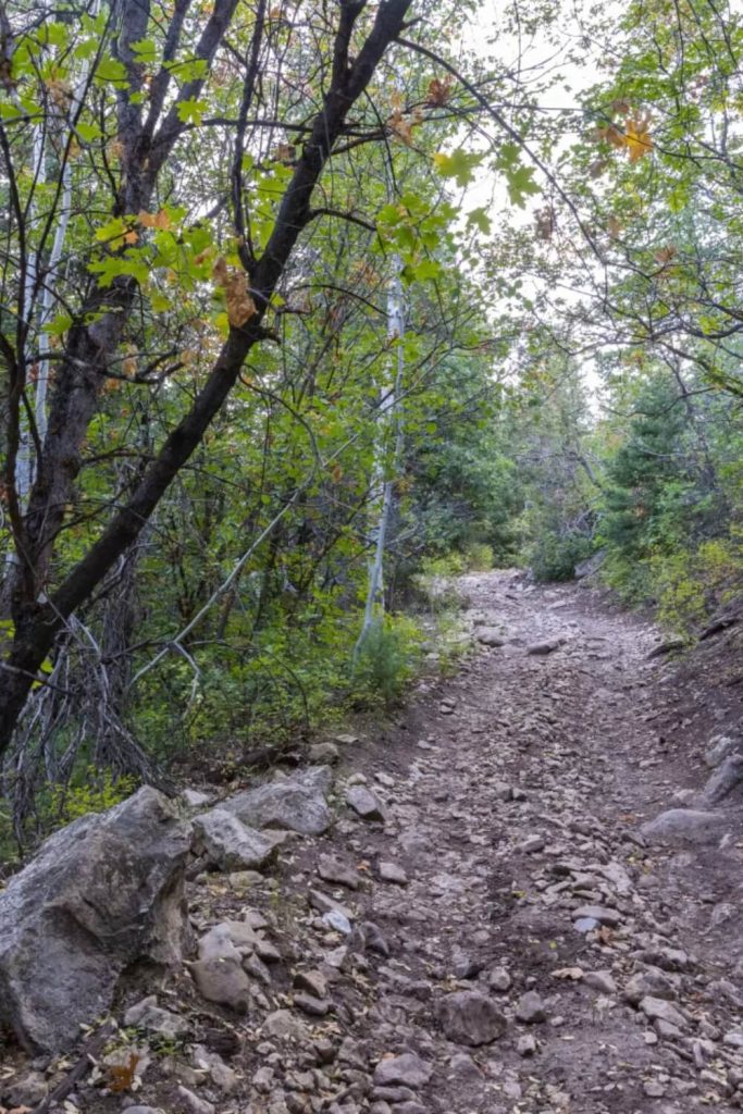
This trail is very rocky and uneven, making it a challenging ride. You’ll encounter areas where the trail tilts to one side, loose rocks that can move under your tires, and sections where water has created small channels in the path. There are also exposed tree roots and obstacles up to a foot tall, like ledges and steep spots that require careful driving.
In bad weather, the trail can become even more difficult. Water might cross the trail in some places, making it slippery and harder to navigate. The combination of mud and slick rocks can turn an already tough trail into a very tricky ride. It’s important to be well-prepared with a well-maintained vehicle and proper safety gear, especially when the weather is not ideal.
Surface
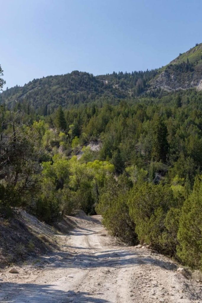
The surface type of this trail is predominantly dirt, which offers a unique set of challenges and benefits for UTV riders. Dirt trails provide a more natural and rugged riding experience compared to paved surfaces. The dirt can vary in consistency, from packed and firm to loose and powdery, affecting traction and handling. In dry conditions, the dirt surface can become dusty, reducing visibility and potentially creating slippery patches. The fine particles kicked up by tires can settle into crevices, making the trail uneven and adding to the technical difficulty.
When wet, dirt trails can transform dramatically. Rain can turn the dirt into mud, which significantly impacts the ride. Mud can be sticky and thick, causing tires to sink and lose traction, or it can be slick and watery, making the trail slippery and harder to navigate. Wet dirt trails often have areas of standing water or puddles, which can obscure obstacles like rocks and roots, adding an element of surprise and requiring heightened attention and skill.
The best time to visit
The best times to explore the Beaver Creek Trails are during fall, summer, and spring, each offering unique experiences.
Fall provides stunning autumn colors and cooler temperatures, making for a comfortable and less crowded ride. However, shorter daylight hours require careful planning.
Summer is peak season with long days and fully accessible trails. The lush green scenery and active wildlife make it ideal but expect more crowds. Start early and stay hydrated.
Spring offers mild temperatures and a refreshing landscape as trails come to life after winter. While rains can create muddy conditions, the trails are less crowded. Be cautious of lingering snow and changing weather.
Each season brings its own charm to the Beaver Creek Trails, making them a year-round destination for UTV enthusiasts.
Accessible By
The Beaver Creek Trails cater to a variety of off-roading vehicles, each trail offering specific features and requirements. Beaver Creek Road, being a full-width road, is accessible to all off-roading vehicles, including large 4×4 trucks, full-sized SUVs, and standard UTVs. The wide path allows ample space for larger vehicles, making it a versatile choice for many riders.
On the other hand, Beaver Creek Ridge Trail is tailored for smaller UTVs. Its narrower and more technical terrain is ideal for those who enjoy navigating tight spaces and challenging sections. The trail’s unique features provide an engaging and exciting ride for smaller, more agile vehicles.
Beaver Creek-Clear Creek Road requires high-clearance 4×4 vehicles due to its rugged terrain, which includes steep grades, loose rocks, and potential water crossings. Vehicles with significant ground clearance and four-wheel drive capabilities are essential to safely handle the obstacles and challenges of this trail, ensuring a thrilling off-road experience.
Beaver Creek Road
Beaver Creek Road is a six-mile trail that is easy to navigate, making it an excellent choice for riders of all skill levels. This trail winds through the scenic beauty of the Manti-LaSal National Forest, offering a serene and picturesque ride. The area is composed of several smaller trails and roads that connect with Beaver Creek Road, creating a network of paths to explore. As Beaver Creek Road travels east-west, it intersects with the Mayfield-Gunnison Road and Skyline Drive, providing various routes and opportunities for adventure.
The trail is surrounded by a diverse landscape, featuring towering pine, aspen, and cedar trees that create a lush canopy overhead. During the ride, you’ll also encounter a vibrant array of wildflowers, brush, and grasses, adding bursts of color to the verdant surroundings. The easy navigation of Beaver Creek Road allows riders to focus on the breathtaking scenery and the natural beauty of the forest. This trail is perfect for those looking to enjoy a leisurely ride while soaking in the diverse flora and the tranquil atmosphere of the Manti-LaSal National Forest.
Beaver Creek Ridge Trail
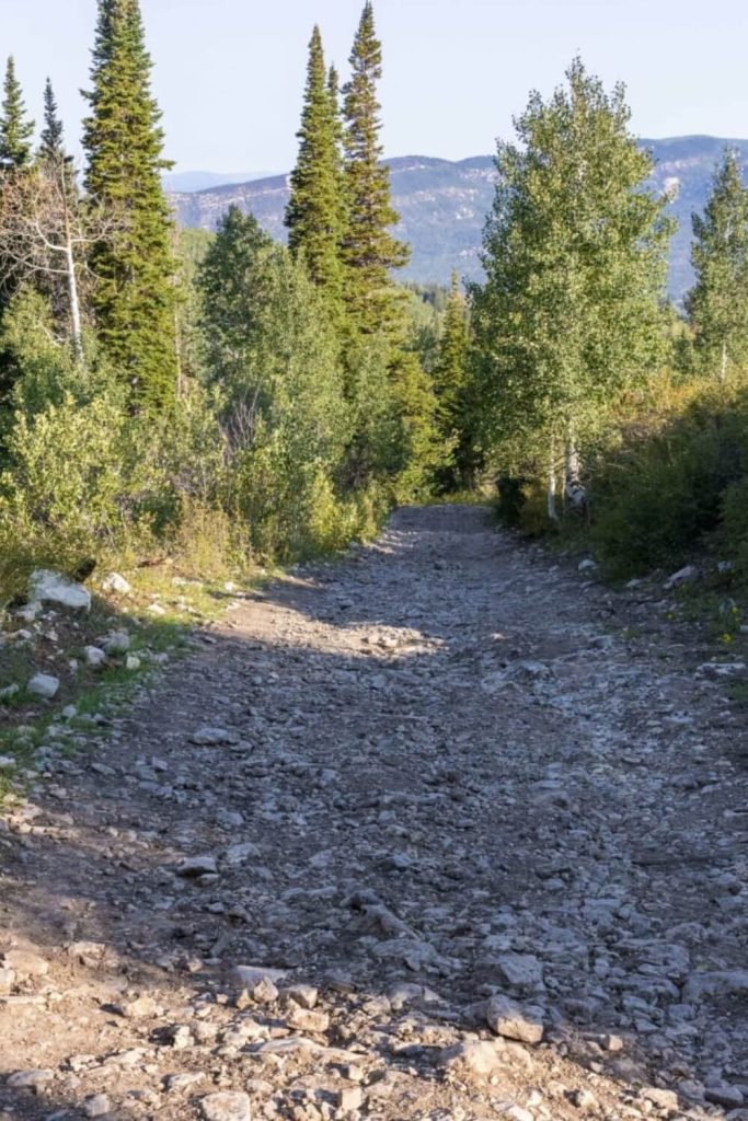
Beaver Creek Ridge Trail is a moderately challenging three-mile trail that extends from Beaver Creek Road to Anderson Canyon Trail. This unmaintained trail presents a rugged and adventurous path, perfect for those seeking a bit more challenge in their off-roading experience. The trail’s natural state means it can become quite difficult to traverse during inclement weather, with muddy conditions and slick surfaces adding to the complexity. Riders should be prepared for these potential difficulties and ensure their vehicles are equipped to handle the tougher terrain.
As you navigate Beaver Creek Ridge Trail, you’ll encounter a variety of landscapes that showcase the diverse beauty of the area. The trail cuts through dense forests, with towering pine and aspen trees creating a canopy that offers both shade and a sense of seclusion. The path also traverses open areas where wildflowers and native grasses add vibrant touches of color to the scenery. The ridge offers occasional glimpses of sweeping views over the surrounding valleys and forests, providing stunning vistas that reward the effort of the journey.
Beaver Creek-Clear Creek Road
Beaver Creek-Clear Creek Road is a moderately challenging three-mile trail that offers an engaging ride through the stunning landscapes of the Manti-LaSal National Forest. This trail is part of a larger network of smaller paths and roads that weave through the forest, providing riders with numerous options for exploration. The road intersects with Beaver Creek Road and connects to Clear Creek Road, making it a key route for those looking to navigate this beautiful area.
As you travel along Beaver Creek-Clear Creek Road, you’ll be surrounded by the diverse and picturesque scenery of the Manti-LaSal National Forest. The trail meanders through dense stands of pine, aspen, and cedar trees, offering a mix of shaded and open areas that create a dynamic and visually appealing journey. The forest floor is dotted with vibrant wildflowers, various shrubs, and grasses, adding to the natural beauty of the trail.
The trail’s moderate difficulty means it provides a good balance of challenge and accessibility, making it suitable for intermediate riders looking to hone their skills. The terrain can be rugged and uneven, with loose rocks and occasional ruts that require careful navigation. Weather conditions can also impact the trail’s difficulty, particularly during and after rainfall, when the path can become muddy and slick. Riders need to be prepared for these conditions and ensure their vehicles are capable of handling the varied terrain.
